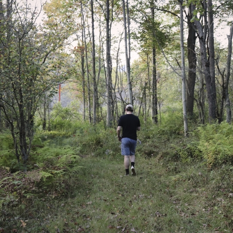
Pfeiffer Nature Center
Home to more than 648 acres of nature’s beauty.
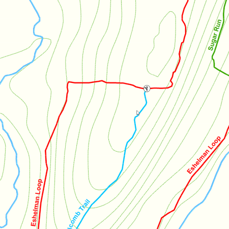
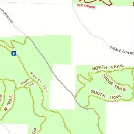
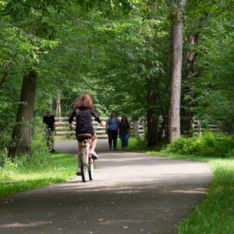
You can hike, bike, ride a snowmobile or ride horse on the Pat McGee Trail. This mile multi-purpose 12.2 trail will grow to be a county-wide system but at this time it connects 7 municipalities together (from the Village of Cattaraugus to the City of Salamanca).
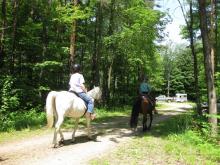
Pine Hill State Forest & South Valley State Forest has 24 miles of trails for equestrian use located near Onoville Marina.
Allegany State Park has many beautiful trails that you can hike, bike, cross-country ski, rollerblade, ride horseback, mountain bike, snowmobile and more. Most of the trails are used throughout the entire year such as the groomed snowmobile trails that double as horseback riding trails in the summer.
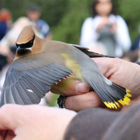
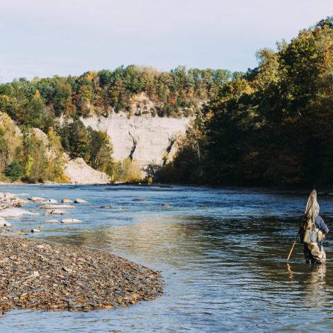
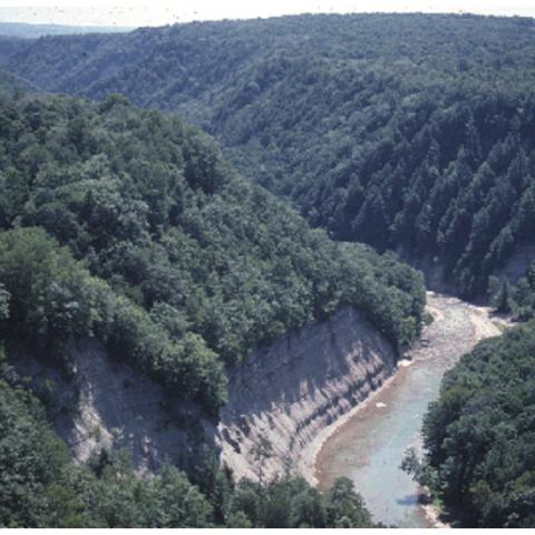
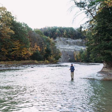
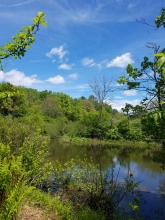
Zoar Valley is 2,297 acres of beautiful and dangerous canyon river valley for fishing, hiking, rafting, canoeing and kayaking.
This list of activities to enjoy in the Winter was created in 2010.
Ahhh the holidays! Whether you are looking for relaxation or excitement with the holidays we'll have some activities below.