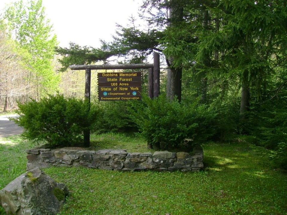
Dobbins Memorial Forest is a New York State Forest. It was a forest that was started in the 1930’s when Franklin D. Roosevelt sent the CCC to plant thousands of trees. Harry Dobbins was a forester that had a part in purchasing many NYS Forests.
There are many different recreational activities that you could do. Some of the activities include hiking, camping, snowmobiling, hunting, snowshoeing, mountain biking, and horseback riding. In Dobbins Memorial Forest there is a spot for geo-cashing.
Located at 42⁰ 17’ 122”N, 78⁰ 46’ 980”W the geologic situation of Dobbins Memorial Forest is unique and a little obscure. It’s located between Linlyco Lake, which was affected by glaciers and Little Rock City which was left unglaciated. When driving through the many valleys surrounding Dobbins you will notice their large U-shaped structures.
There is not any bedrock visible in the forest but there is a layer of soil that covers the till and bedrock. The till that is covering the bed rock was deposited by a glacier that was sitting still making the hill a moraine. Soil is on top so you can’t see the till or bedrock. Dobbins may be just like Little Rock City, where the area wasn’t touched by glaciers or it may be made of glacial till. It is difficult to tell due to the thick soil cover. Dobbins Memorial Forest is an interesting place to explore with many hidden geological secrets. See what you can find today!
Directions
From Interstate 90 (Buffalo)
- Slight right onto US-219 S (signs for Orchard Park/Springville) (28.4 mi)
- Turn right onto US-219 S/Peters Rd (0.3 mi)
- Turn left onto US-219 S (13.7 mi)
- Turn right onto NY-242 W/US-219 S
- Continue to follow NY-242 W (3.8 mi)
- Turn right onto Co Rd 15/Dublin Rd (2.5 mi)
- Turn right onto Bedient Hill Rd
- Parking area will be on left
From Interstate 86 (Erie)
- Take exit 16 toward Randolph/Gowanda (0.2 mi)
- Turn left onto W Main St (2.7 mi)
- Continue onto NY-394 E/Hall St
- Continue to follow NY-394 E (0.6 mi)
- Turn left onto NY-242 E (9.5 mi)
- Turn left onto Erie St (0.4 mi)
- Turn right onto N 9th St (0.4 mi)
- Continue onto Co Rd 14/Kahler Hill Rd
- Continue to follow Kahler Hill Rd (0.6 mi)
- Slight right to stay on Kahler Hill Rd (1.7 mi)
- Turn right onto Bedient Hill Rd
- Parking area is a quick right
From Interstate 86 (Elmira)
- Take exit 20 to merge onto NY-417 E toward NY-353 (1.0 mi)
- Turn left onto NY-353 N/Center St
- Continue to follow NY-353 N (5.8 mi)
- Turn right toward NY-242 E (0.2 mi)
- Turn right onto NY-242 E (1.0 mi)
- Slight left onto Co Rd 15/Dublin Rd (1.4 mi)
- Continue onto Bedient Hill Rd
- Parking area will be on left
GPS Coordinates:
42⁰ 17’ 11” N
78⁰ 46’ 58” W
Information compiled by Drew Hill and Logan Martin 5/31/2012 for the Cattaraugus County Geology Trail
Bedient Hill Rd.
Salamanca, NY 14779
United States