Maps
Maps and more!
The audio files for the Enchanted Mountains Jingle.
Listen to the full Enchanted Mountains Jingle from 2006.
Produced in 2006 by ? ... Ken Kaufman of AdSongs???

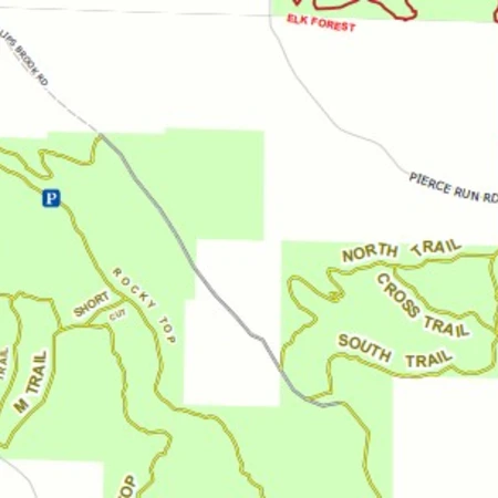
We have over 450+ miles of snowmobile trails in Cattaraugus County, the Enchanted Mountains of Western New York.
Learn more about the following:


Pine Hill State Forest & South Valley State Forest has 24 miles of trails for equestrian use located near Onoville Marina Park.
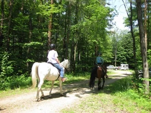
Allegany State Park has many beautiful trails that you can hike, bike, cross-country ski, rollerblade, ride horseback, mountain bike, snowmobile and more. Most of the trails are used throughout the entire year such as the groomed snowmobile trails that double as horseback riding trails in the summer.
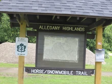
Allegany State Park has set aside 55 miles of trails spread out on 65,000 acres, specifically for summertime equestrian use. The horse trails are on a series of interconnecting loop trails that utilize gravel park roads, abandoned town roads and abandoned railroad rights-of-way. You will ride on hillside, rolling and level trails.
Good footing for horses throughout woodland settings.
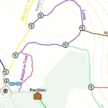
There is an informative free horse trail map that can be obtained in the park rental offices.

Join in for the HoliTrot Fall Festival Trail Run!
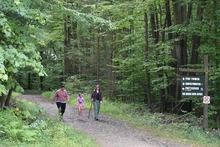
Get ready to lace up your running shoes and celebrate the vibrant autumn season at HoliMont! You're invited to the exciting HoliTrot Fall Festival Trail Run, featuring a Kids Race and a scenic 5k trail run through our beautiful trails.
Schedule:
Race Highlights:


Join in for the HoliTrot Fall Festival Trail Run!
Get ready to lace up your running shoes and celebrate the beautiful autumn season with HoliMont! This exciting event features a Kids Race and a 5k, winding through their extensive and scenic trail system.
Schedule:
Race Highlights:
All levels, from beginner to advanced trail riders.
Varies from easy to moderate to rocky.
There are maps to promote trail riding on your own, in loops of 1, 2, or 3 hours; and for the more adventurous, you can ride all day.
24 camper spots available with hook-ups and 50+ spots without hook-ups, call (716) 969-7390 for reservations.
Large area available for all types of parking.