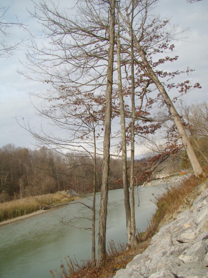
The bedrock surrounding the Scoby Dam area was formed during the Devonian time period and is mostly fissile shale and siltstone. The soil in area is made up of very fine grained clay that is prone to landslides. Any clearing of vegetation also makes landslides more probable. The landslides have caused damage to the area and have affected the construction of Route 219 and the major bridge(s) over Cattaraugus Creek.
There is a cave that you can barely see that you have to climb up in order to actually get a good look. It is said that you shouldn’t go in it because it is really small may exist due to fractured and unstable shale layers.
Information compiled by Dakota Chinchen and Courtney Geis 5/31/2012 for the Cattaraugus County Geology Trail
11020 Scoby Hill Road
Springville, NY 14141
United States