The beautiful Allegheny River Valley Trail gives the people who live and work in this regional center a place to walk, jog or ride a bicycle. It has the following features:
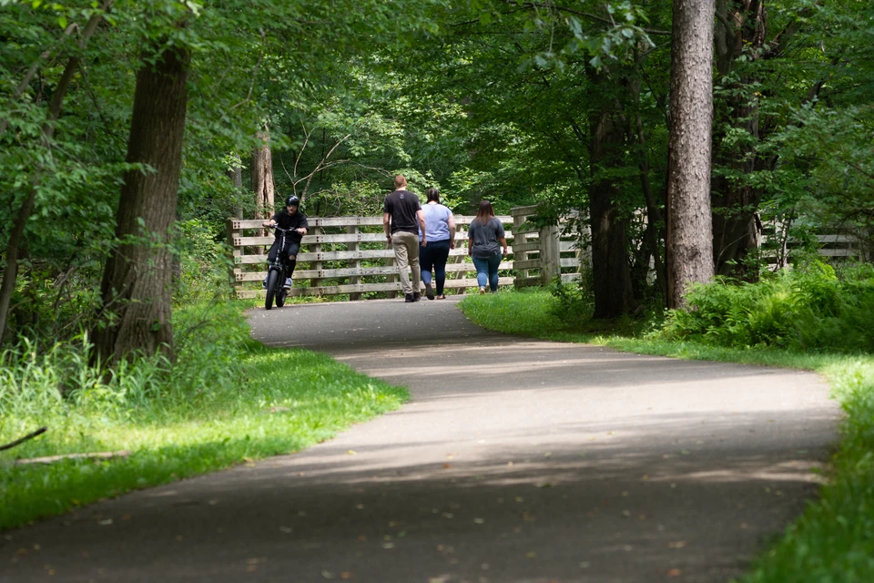
- A 6.2-mile loop trail that runs between the Town of Allegany, NY and the City of Olean, NY along the Allegheny River, plus other properties.
- It is 10 feet wide, made with asphalt and is handicapped accessible (a flat surface).
- It is used by people of all ages, including babies in strollers, children on tricycles, youngsters on inline skates, adults on bicyclers and senior citizens traveling on foot.
- Motorized vehicles are not allowed, except for motorized handicapped vehicles.
The trail meanders through a forested route for almost three miles along the Allegheny River in New York State. This is unique because it connects the communities of Olean and Allegany, allowing users to travel six miles round trip without crossing a street. The other option is to complete the loop and pass through a residential area and then along Constitution Avenue, which is Olean's industrial and retail hub. A unique feature of the trail is that, although almost 50% of it is on abandoned rail yards, it is a loop. Most rail trails are in a straight line requiring return to a trailhead along the same route.
Trail Access
View the Map of the Allegheny River Valley Trail
- Trailhead in west parking area at St. Bonaventure. View on Google Maps
- Parking near Four Mile Brewing. View on Google Maps
- Parking at North end of North 12th Street. View on Google Maps
- Parking at War Vets Park. View on Google Maps
- Parking at Gargoyle Park. View on Google Maps
- Parking at ?. View on Google Maps