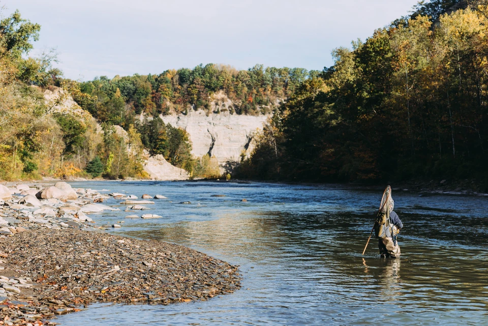
Fishing
Depending upon the time of year, you could catch Steelhead(rainbow trout) and other kinds of trout on the Cattaraugus Creek. Get the map
Canoeing & Kayaking
Canoeing and kayaking is not a recommended starting point for beginners or intermediate paddlers. It is dangerous in this section of the Cattaraugus Creek and people die or get seriously injured in Zoar Valley every year. Get in touch with the Zoar Valley Paddling Club to learn where to paddle on the Cattaraugus Creek.
Geology
The Zoar Valley area is very unique river valley because it was formed as a result of glacial melting and deposition of sediments that the glacier carried. There were a series of glaciers that covered and exposed the Cattaraugus County area. These glaciations include the Wisconsin Glaciation, the Olean Glaciation, and the Kent Glaciation. The first glaciation began about 65,000 years ago. Sediments, known as glacial till, built up as the glacier began to retreat creating a wall, known as a moraine. As the glacier melted, large amounts of water began to flow east along the moraine and the glacier, towards Lake Erie, following a natural dip in bedrock as well as an ancient river valley. This process eventually led to the formation of the Cattaraugus Creek, which formed Zoar Valley.
The rock underlying the glacier was shale, which is very brittle and easily eroded. The power of the water flowing cut through the glacial till and bedrock and eroded at the head of the stream, backwards, in a process known as headward erosion. The Cattaraugus Creek cut through the shale at a rate of 15 to 18 feet per thousand years and formed the valley walls we see today over a period of 14 to 15 thousand years.
There are a wide variety of activities that can be enjoyed at Zoar valley. The fun ranges from hiking to rafting. You can find yourself camping in the beautiful forest, watching the wildlife, fishing, or swimming in the creek.
There are many dangers that you have to be aware of before visiting Zoar Valley. There are many steep cliffs with unstable rocks that you could cause you to find yourself in a bad situation. There have been bad incidents in Zoar Valley but they are a result of people not being aware of the dangers. The rapids can also become very fast and dangerous. They might not look like they are very strong but looks are deceiving, so make sure you are always prepared and it is recommended that you don’t adventure on your own.
Information compiled by Tiffany Anderson 5/31/2012 for the Cattaraugus County Geology Trail.
Maps
Please visit http://www.dec.ny.gov/docs/regions_pdf/zoarmapua.pdf and http://www.dec.ny.gov/lands/49452.html for a map of the Zoar Valley Multiple Use Area (MUA).
The following link will send you to a point where there is parking and water access, however; it is the easternmost point of the Zoar Valley MUA, and is separated from the main MUA and it is recommended to be respectful and mindful of any property markers.
http://www.zeemaps.com/pub?group=368364&x=-78.784836&y=42.487267&z=5
North Otto Road
Otto, NY 14766
United States