
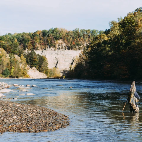
Zoar Valley - Valentine Flats
Valentine Flats parking area offers a trail to an overlook or a steep trail down into the gorge of Zoar Valley Multiple Use Area
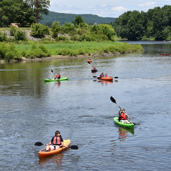
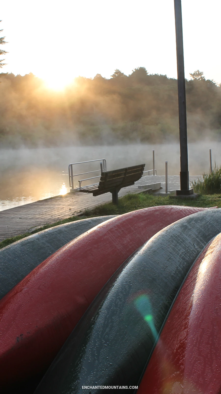
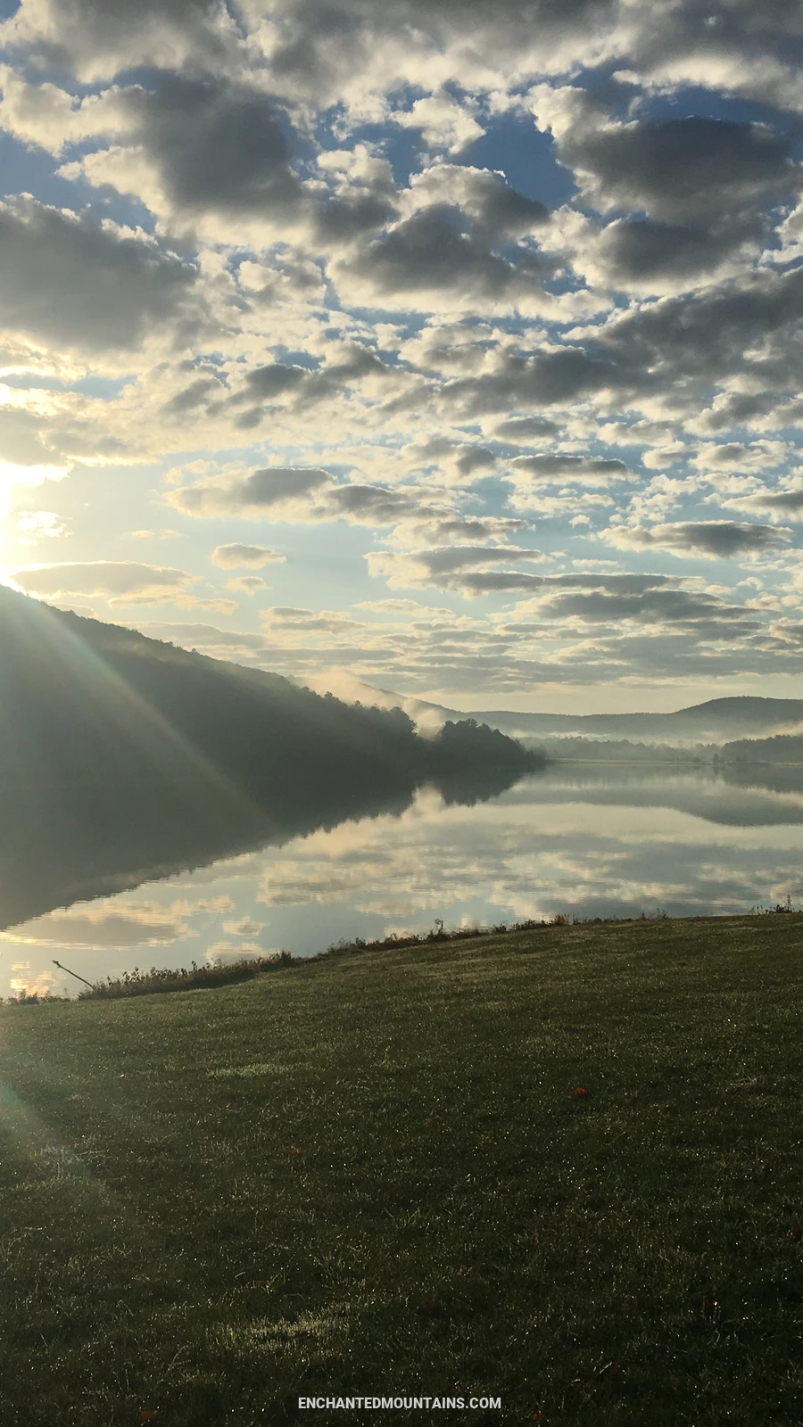
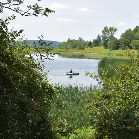
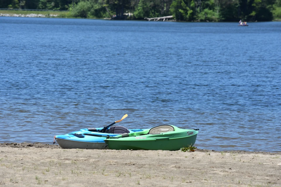
Welcome to the world of aquatic adventure in the Enchanted Mountains of Western New York State! Whether you're a seasoned paddler seeking the rush of whitewater rapids or a novice explorer eager to glide serenely along tranquil lakeshores, kayaking and canoeing offer an exhilarating blend of nature, athleticism, and camaraderie. From the adrenaline-pumping thrill of navigating tumultuous currents to the serene beauty of quietly paddling through untouched wilderness, these places provide an unparalleled opportunity to connect with the great outdoors and fellow enthusiasts alike. So grab your paddle, don your life vest, and embark on a journey of discovery as we delve into the excitement and wonder of kayaking and canoeing.
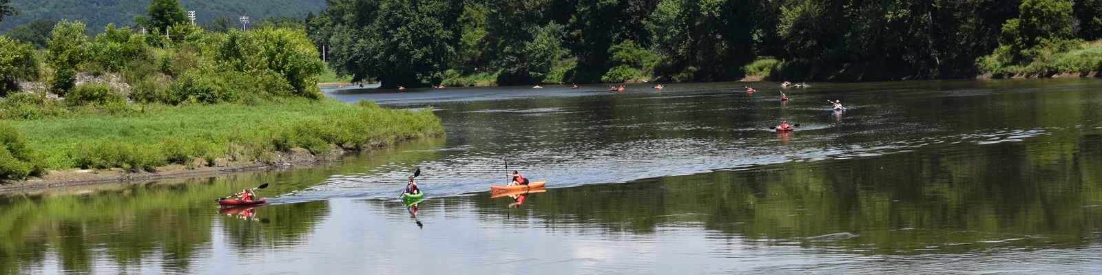
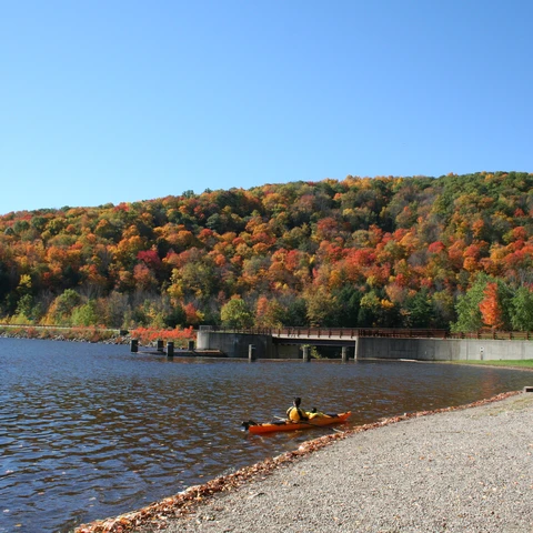
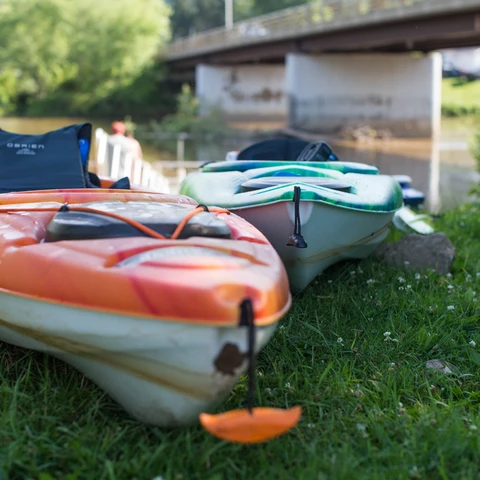
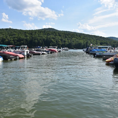
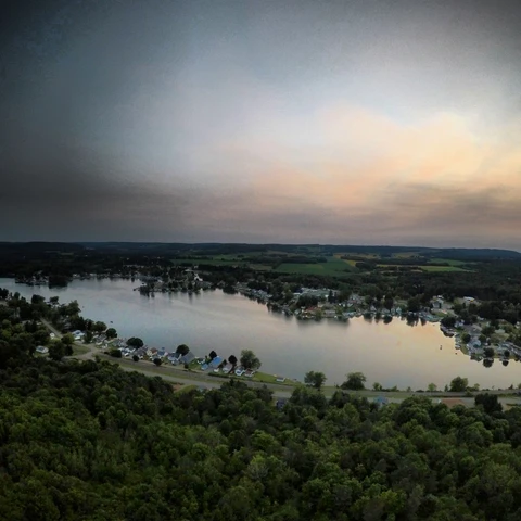
Canoeing and Kayaking is one of the biggest attractions in our region. There are several bodies of water in which to enjoy a full day of fun and excitement holding a paddle in a canoe or kayak.
For paddling we have at least 6 lakes, a river and many miles of creeks for you to explore.
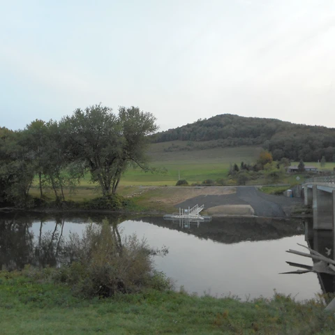
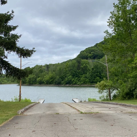
View the Get In / Get Out spots! in the Enchanted Mountains
Plan a kayaking/canoeing trip on the Allegheny River at Paddling the Allegheny River
Please read some general safety guidelines on our local rivers and creeks. We recommend to always wear your lifejacket or other personal floatation device (PFD).
1. Allegany State Park has rentals of kayaks, canoes, and rowboats for use. These rentals can be found at the Red House Lake Boat House, by the large parking lot.
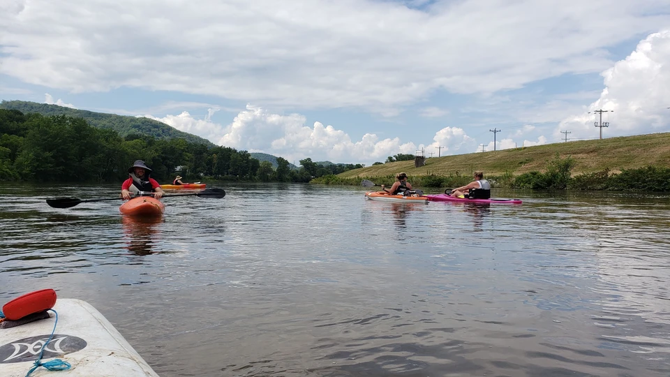
The 54-mile trip on the Allegheny River, devoid of dams, can be made without interruption at sufficient water heights but most people take short trips on the Allegheny River in New York State. At Olean, two large pipes crossing the River's bed may cause a problem during low water. Near the Junction of the Tunungwant Creek, vertical log piles are concealed below the water surface. Log piles are also present in other locations, especially above Portville.
At Salamanca, a shallow rift occurs above and below the bridge. There are also some rifts between Salamanca and Red House.
From Vandalia to the Allegheny Reservoir, most of the trip is through the Seneca Nation of Indians' Reservation. The trip through the Allegheny Reservoir can be rated smooth to rough depending on the wind.
Paddling the Allegheny River in New York State.
View water information for the Allegheny River at Olean, NY on the USGS website.
View water information for the Allegheny River at Salamanca, NY on the USGS website.
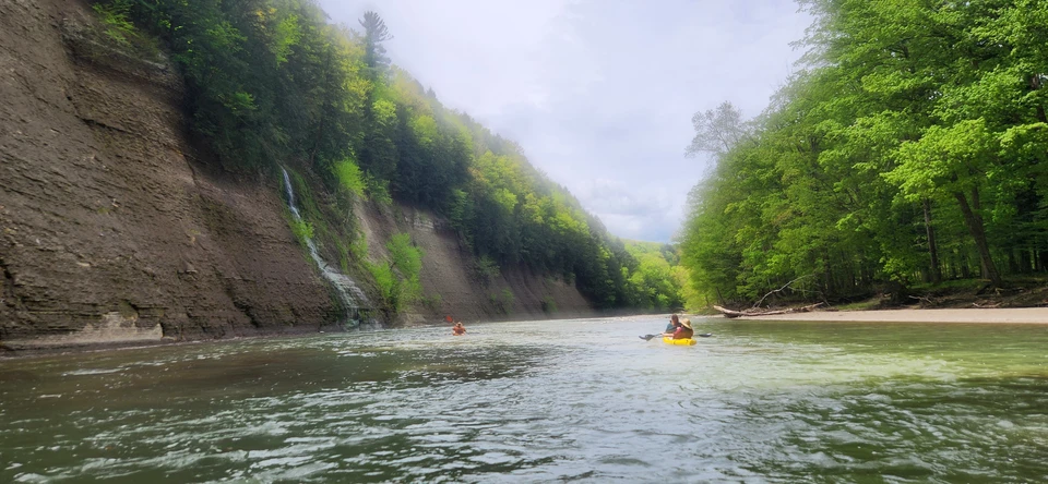
Cattaraugus Creek offers the most interesting canoeing stream in Western New York. It must be approached with CAUTION. It is challenging, secluded in sections, and very beautiful.
For detailed information on Cattaraugus Creek water levels and safety information view USGS WaterData for USGS 04213500 Cattaraugus Creek at Gowanda, NY.
The entire length of Cattaraugus Creek, can be run season long (Spring through Fall). Some sections of the Cattaraugus Creek, especially the stretch through Zoar, should NOT be run at any time except by experienced canoeists accompanied by someone who knows the Creek. Meetup with the Zoar Valley Paddling Club (Group on Facebook).
The white water enthusiast may wish to take a wet and wild river trip by rafting through Zoar Valley. These white-water rafting trips are by reservation only. Make your reservations early in the Spring to assure high water for rafting.
When running the South Branch of Cattaraugus Creek, one should proceed with caution especially in the area between Skinner Hollow Road and Forty Road. It is noted that you will find a 6-foot river-wide waterfall, (height varies 15 to 20 feet) on a blind corner. Here the water flows into a horseshoe shaped drop with recirculating currents. Following is another 6foot drop with a potential pinning situation. Run this creek only if you are with someone who has run it before. Not recommended in high water.
This creek is a slow meandering stream with many overhanging trees. Portage is required around occasional fallen trees. A beaver dam one-mile north of the mouth of Little Conewango may necessitate portage. The first 5 miles below Conewango Valley flow sluggishly through a straight State drainage ditch. The stream's redeeming feature is a delightful series of easy rifts, 3 miles long, from the Route 17 bridge at Waterboro to Kennedy.
The water level of the Great Valley Creek, which meanders through the valley, is for the most part seasonal. At high water, this Creek can be run from Ellicottville to the point where it joins the Allegheny River at Killbuck.
This is an unusually fine run among hills. During the Spring, it offers intermediate challenge to the canoe enthusiast. There are occasional tricky spots under the bridges and along railroad grades. Dead falls are the biggest problem. This creek can only be run in high water.
Oil Creek is an excellent spring and fall waterway. It meanders through farmland and wooded areas. One may encounter a few log jams. In the area of Wagner Hill Road, one will encounter rock and rubble. Oil Creek is an area with an abundance of wildlife.
This is a continuation of the Ischua and Oil Creeks. Moderately high water would make your trip from Hinsdale to the Allegheny River a relaxing one. However, the Olean Creek is shallow and cannot be run most of the year. Some snags as well as some fast, sharp turns may be encountered.
An abundance of wildlife and waterfowl can be seen on the Oswayo Creek. This creek is canoeable from Shinglehouse, Pennsylvania to a point where it meets the Allegheny River near Portville, New York.
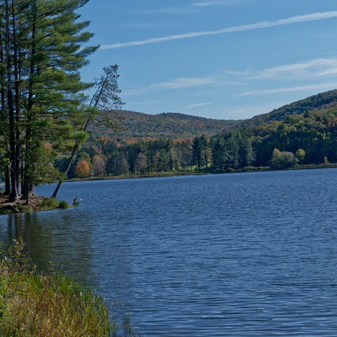
As of Summer of 2016, Quaker Lake has a new bath house and as of 2017 you can now rent Kayaks, SUPs, paddle boats and row boats at the new Quaker Boathouse. You still have the option to bring your own non-motorized boats as well!
At Allegany State Park, Red House Lake has a beach, rentals and more!
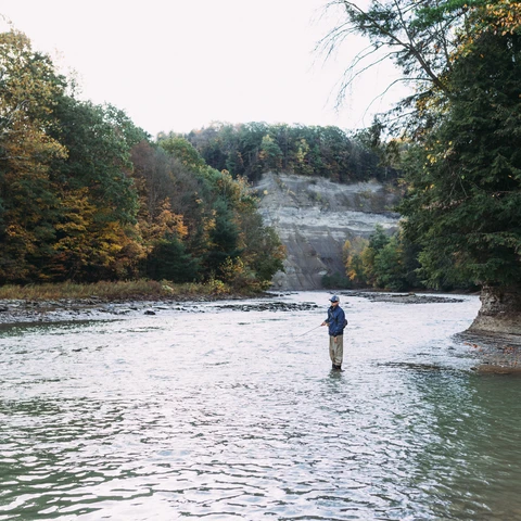
Zoar Valley is located only an hour drive south of Buffalo, New York. Transversing some of the most spectacular scenery in Western New York, it remains virtually hidden due to its difficult access. Certain sections of the gorge can be seen from several remote vantage points, but by far, the best view can be had from the river far below.
Want to try something other than canoeing, kayaking or paddle board? Check out whitewater river rafting options on the Cattaraugus Creek too!
For more fun - there are annual regattas held in the Enchanted Mountains (Cattaraugus County)!
Float the Allegheny is ~4.5 miles down the Allegheny River from Portville, NY to Olean, NY hosted by the Olean Chamber of Commerce.
Tame The Tuna Regatta is 5.5 miles down the Tunungwant Creek and hosted by the Limestone Volunteer Fire Department.
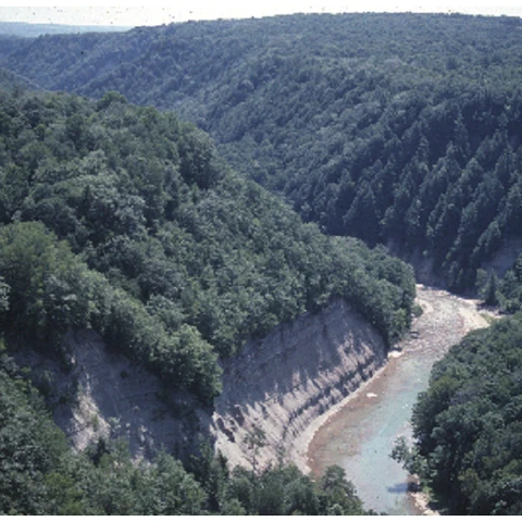
Zoar Valley is 2,297 acres of beautiful and dangerous canyon river valley for fishing, hiking, rafting, canoeing and kayaking.
It's spring in the Enchanted Mountains, which means... our days get longer, flowers are blooming, and the warmer weather allows us to spend more time enjoying the outdoors! Here's a list of ways you can be active and enjoy spring in the Enchanted Mountains.
It's spring in the Enchanted Mountains, which means... our days get longer, flowers are blooming, and the warmer weather allows us to spend more time enjoying the outdoors! Here's a list of ways you can be active and enjoy spring in the Enchanted Mountains.
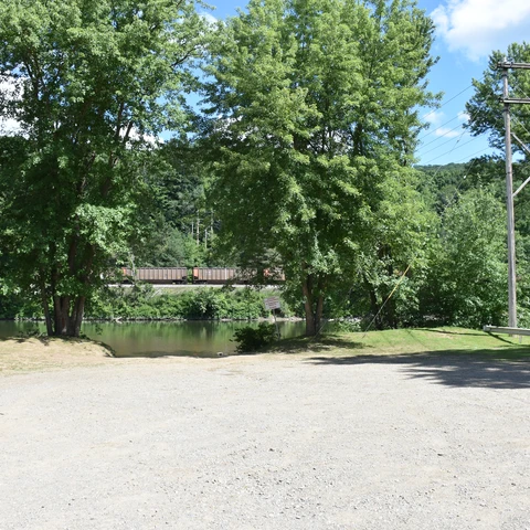

Launch your canoe or kayak into the Olean Creek at the Hinsdale Launch.
Summer is here, and with it comes long, sunny days filled with endless possibilities. Whether you’re a thrill-seeker, a nature lover, or someone who enjoys relaxing with a good book, there’s a summer activity for everyone.