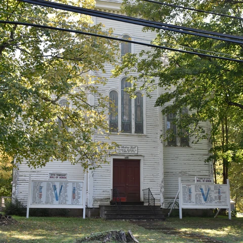
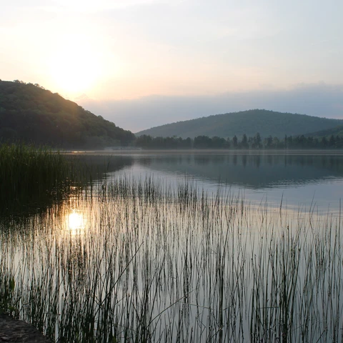
Enchanted Mountains Map
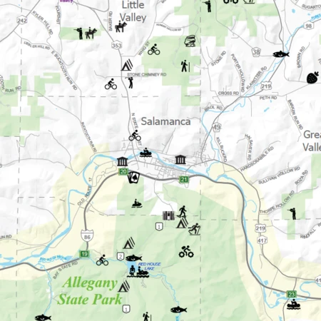
Take a gander at the Enchanted Mountains Visitors' Map, which is our "at a glance" map of Cattaraugus County in Western New York.
Note: Most of the roads are labelled.
Take a gander at the Enchanted Mountains Visitors' Map, which is our "at a glance" map of Cattaraugus County in Western New York.
Note: Most of the roads are labelled.

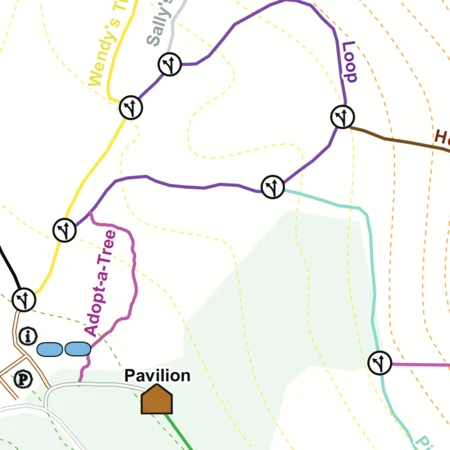
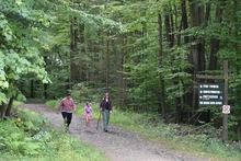
Allegany State Park has many beautiful trails that you can hike, bike, cross-country ski, rollerblade, ride horseback, mountain bike, snowmobile and more. Most of the trails are used throughout the entire year such as the groomed snowmobile trails that double as horseback riding trails in the summer.
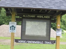
Allegany State Park has set aside 55 miles of trails spread out on 65,000 acres, specifically for summertime equestrian use. The horse trails are on a series of interconnecting loop trails that utilize gravel park roads, abandoned town roads and abandoned railroad rights-of-way. You will ride on hillside, rolling and level trails.
Good footing for horses throughout woodland settings.
There is an informative free horse trail map that can be obtained in the park rental offices.

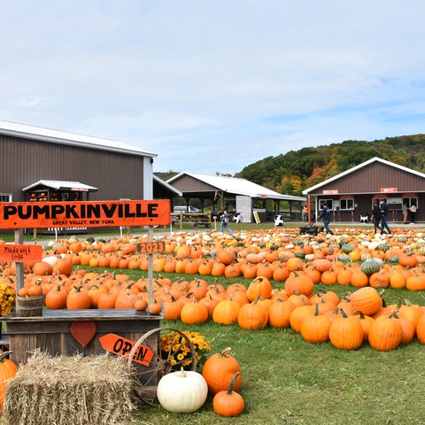
As autumn breezes in and the leaves begin to paint the landscape in hues of gold and crimson, there's one destination that captures the essence of the season like no other: Pumpkinville.

Play a full round of golf on the virtual greens of an indoor golf simulator. Keep practicing your swing at two locations: Ischua Valley County Club or the YMCA in Olean.
These are great places to tee off through the winter months, or the summer months when its too wet outside.
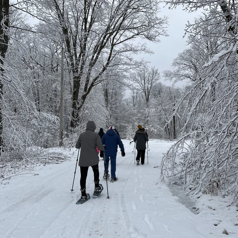
You may think that the winter in the Enchanted Mountains is only for skiiers and snowboarders, but it's not! Check out the variety of events happening for you to enjoy without skis or a snowboard.
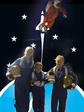
Go on a simulated space mission to Mars, a Comet, or Earth at the Challenger Learning Center. This is a hands-on learning facility specializing in science, technology, math and engineering to spark youth interest and joy. They also offer camps in the summer and fun, educational events throughout the year.
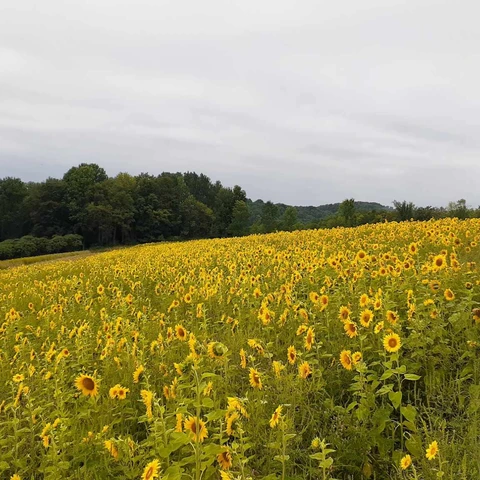
Visiting a sunflower field is more than just a visual delight; it's an experience that engages all the senses and leaves you with lasting memories and The Songin Farm allows y