
A geological spectacle of enormous rock formations in Western New York State
Hiking

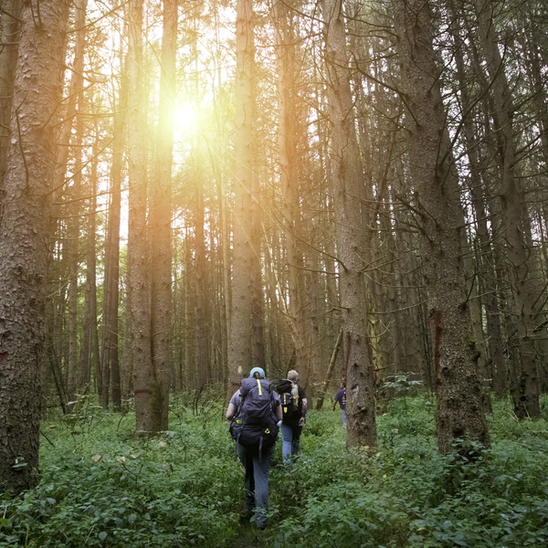
Twelve percent (or 99,500 acres) of the county is state and county land; that gives hikers a large area to explore! Enjoy the trails at Griffis Sculpture Park as you discover sculptures along the hillsides! Hike the trails at Pfeiffer Nature Center in Portville all year around. Rock City Park in Olean offers trails that lead you over, under, around and through the gigantic rocks.
View Hiking Trails
A great place to check out all of the hiking trails is by using Cattaraugus County's Interactive Trails Map.
Allegany State Park
Allegany State Park has miles of hiking trails through the woods.
Download the Allegany State Park Visitors Map or request that we mail you one.
Pat McGee Trail
You can walk, hike, bike, snowmobile or ride your horse on the Pat McGee Trail! This multi-purpose trail connects various municipalities from the Village of Cattaraugus to the City of Salamanca.
Get more information on the Pat McGee trail.
Allegheny River Valley Trail
Hundreds of people use this trail that surrounds the City of Olean and the Village of Allegany every day! Get more information on the Allegheny River Valley Trail.
Finger Lakes Trail System
This system consists of the Finger Lakes Trail beginning at the Pennsylvania border and runs 500 miles east to the Long Path in the Catskills. This trail is marked with white blazes on trees and posts, and identifier discs. This system also has 200 miles of branch trails. These are marked in the same manner, except the color is orange. Side trails are marked in blue. Double blazes are used to mark turns or conditions of the trail. Get more information on the Finger Lakes Trail.
The Conservation Trail/Finger Lakes Trail - White Blazes
This hiking trail begins in Allegany State Park and runs to Fancy Tract, near Machias. This trail has strenuous climbs and elevations range from 1,300 to 2,300 feet.
Conservation Trail - Orange Blazes
This hiking trail runs north from the Conservation/Finger Lakes Trail junction to Cattaraugus Creek. This trail is moderately difficult with elevation ranging from 1,230 to 1,920 feet.
Finger Lakes Trail - White Blazes
This hiking trail continues east from the Conservation/Finger Lakes Trail junction to the County border. This trail is moderately difficult with a peak elevation of 2,078 feet. Information: Conservation Trail - This trail is unique in that for 55 miles from the Pennsylvania border to near Fancy Tract, it is used as the main Finger Lakes Trail. It moves north another 80 miles to Akron Falls Park.
Boyce Hill State Forest/DEC Loop Trail
The Finger Lakes/North Country Trail goes directly through this small State Forest also, but there is a specific short loop that can be enjoyed. It is approximately 2.75 miles and offers many views of animals and has a beautiful pond to relax by. Easy day hike for any level of experience. See Boyce Hill State Forest map on New York State Dept. of Environmental Conservation.
Geology Trail
"Rock out" at many places in Cattaraugus County along the Cattaraugus County Geology Trail.
Zoar Valley
Bordering Erie and Cattaraugus County, Zoar Valley Multiple Use Area encompasses approximately 2,939 acres of land commonly used for hiking. Be noted, however, this can be a very dangerous place with large drop-offs, vast wilderness, and sweeping currents. You will, however, find hours and hours of hiking to enjoy. Deer Lick Conservation Area is a specific part of Zoar Valley and is used very commonly for hikers.
For more information on Zoar Valley please go to www.dec.ny.gov/lands/36931.html.
Not into Hiking?
If you prefer to walk on paved or well-packed trails, then we recommend checking out our walking section.
Experiences
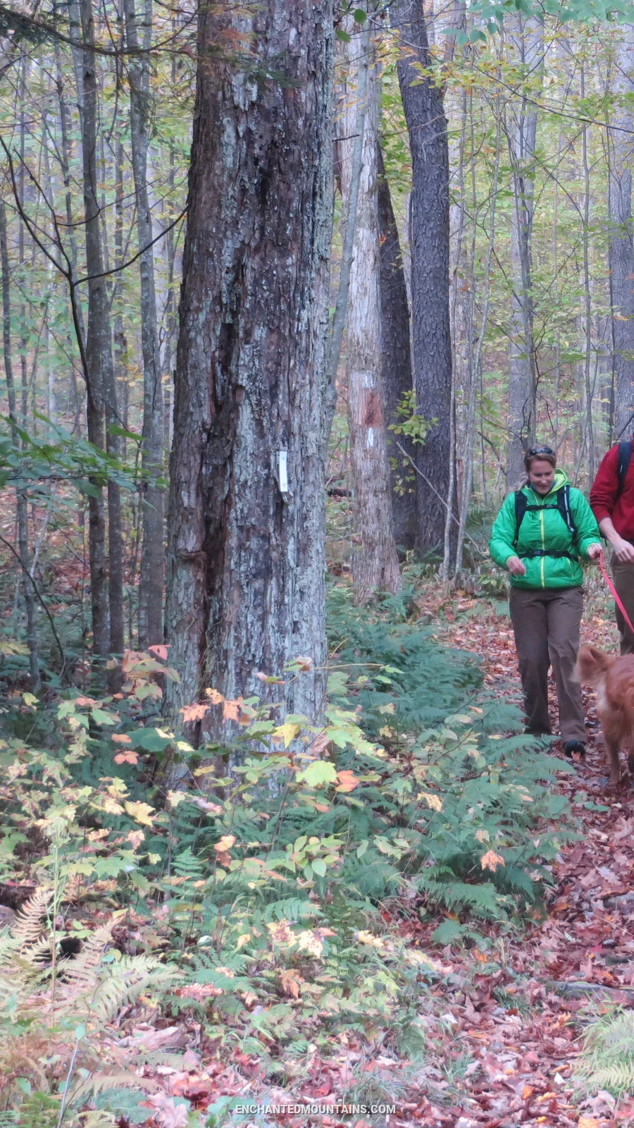
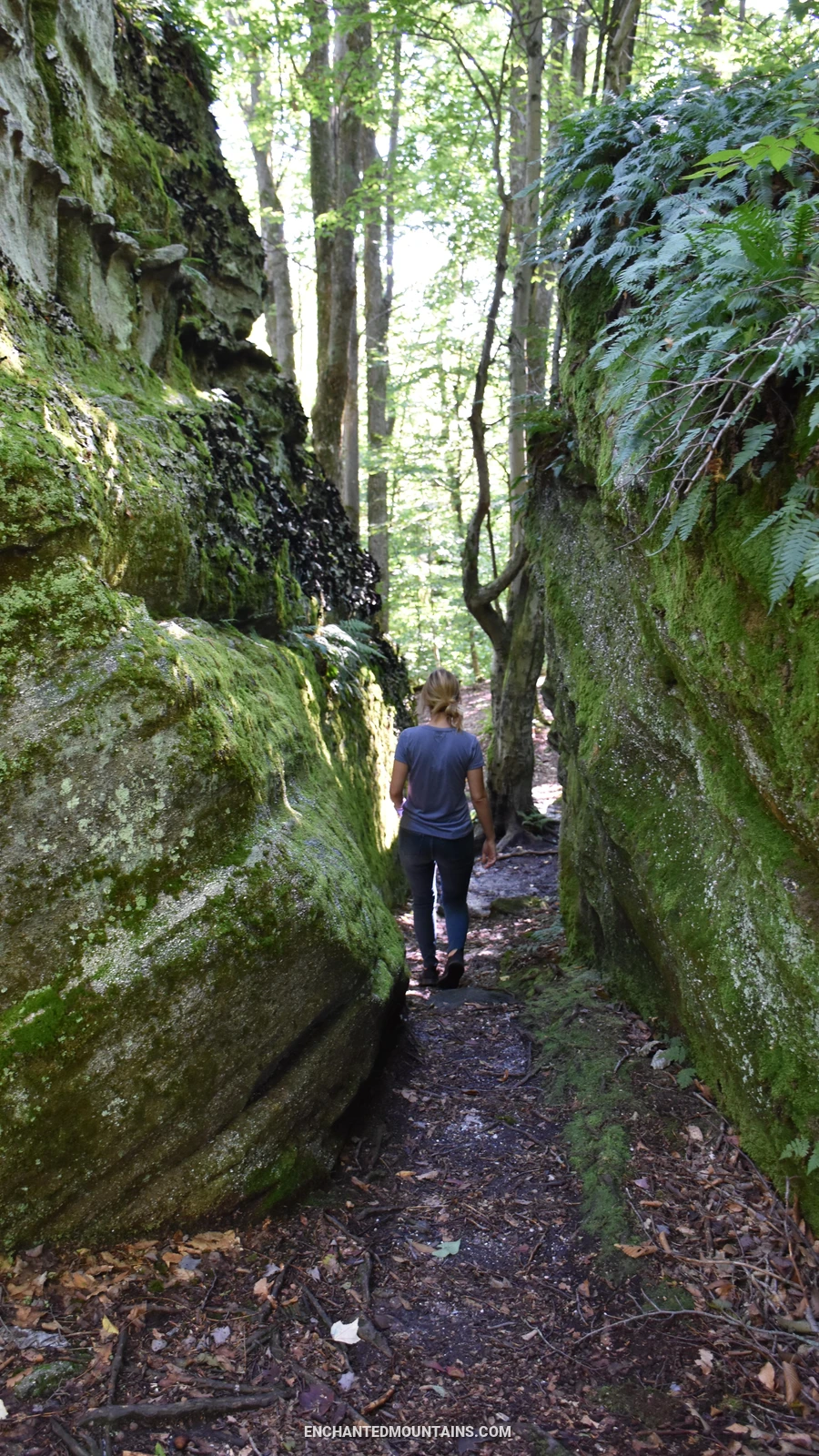
Throw on your hiking shoes and pack up your tent, sleeping bag, favorite camping snacks and enjoy some hiking and primitive camping at Little Rock City.
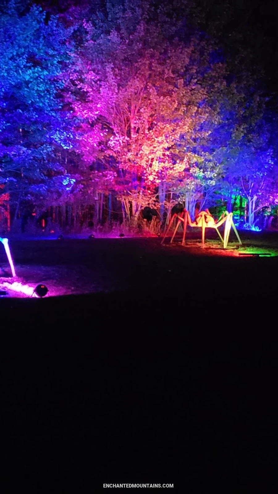
Venture on an unguided walk through the trails at Griffis Sculpture Park as they are illuminated with colorful and theatrical lighting, creating a truly unique experie
Upcoming Events for Hiking
Displaying 1 - 13 of 13 Events
Places Categorized Under Hiking
Valentine Flats parking area offers a trail to an overlook or a steep trail down into the gorge of Zoar Valley Multiple Use Area
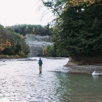
A resort in Western NY for mountain biking, skiing, snowboarding, hiking, golfing, zipline adventure park and more!
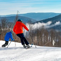
The stadial site in Otto is a place like no other as it is one of only two known places in New York to have preserved till layers from first three…
A scenic destination offering a range of outdoor activities and accommodations for visitors.

A National Natural Landmark of old-growth forest and gorge with trails in the Zoar Valley area
With over 65,000 acres, this is the largest state park in New York State and is open year 'round with a multitude of outdoor activities for every…
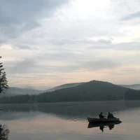
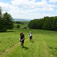
Go camping on over 380 rolling acres of fields, ponds and lush green pines.
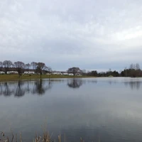
Birch Run Ponds Wildlife Management Area is a 36.4-acre park in Allegany, New York, offering various outdoor activities and stunning natural scenery…
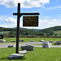
This sweet little shop is located on the lower level in the Holiday Valley Lodge.


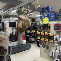
A store that offers sporting goods, hunting supplies, canoes, fishing equipment, archery equipment, rifles, ammo, fishing trips and more!
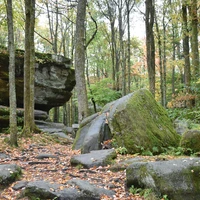
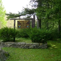
A local landmark of geologic interest which is located in Rock City State Forest and is accessible in the spring, summer, and fall by vehicle, and…
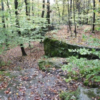
A majestic geological spectacle of enormous rock formations and is often referred to as the Eighth Wonder of the World.
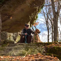
Scoby Dam is most commonly known because of its trail and of course the dam but it is also has a lot of geological elements that have built the area.
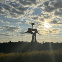
Interact with sculptures in the woods, fields and by ponds on over 400 acres at America's largest and oldest sculpture park
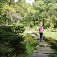
A non-profit, volunteered based organization dedicated to providing home garden and natural resource education, test plots for research, and an…
Term Parents