Maps
Maps and more!
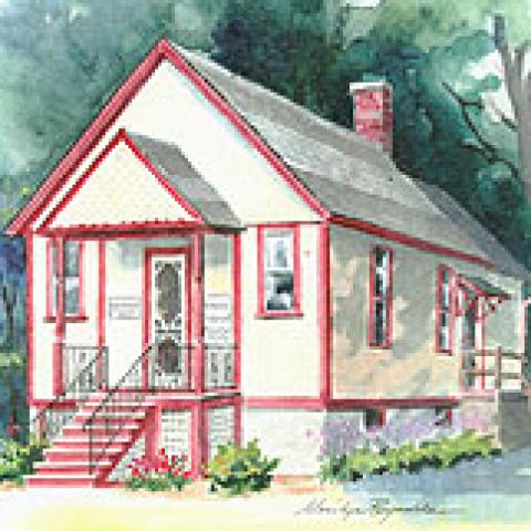
The Portville Historical and Preservation Society is an educational agency, chartered by the Regents of the State of New York. It was established in 1986 in response to renewed interest in the preservation of Portville's past.
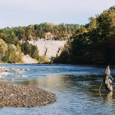
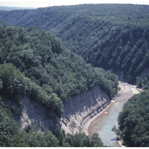
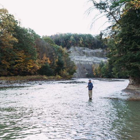
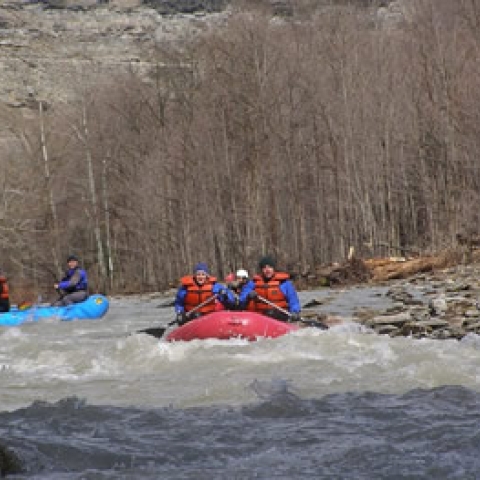
Zoar Valley is 2,297 acres of beautiful and dangerous canyon river valley for fishing, hiking, rafting, canoeing and kayaking.
Welcome to the Official Enchanted Mountains Web site. Cattaraugus County has created this privacy statement in order to demonstrate our firm commitment to privacy for our web site users. Other web sites operated by state and county agencies have different policies. We suggest that you read the privacy policies for each web site that you visit, and any external site that you visit through a link appearing at this site. The privacy statement may change at any time.

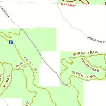

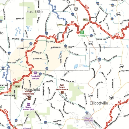
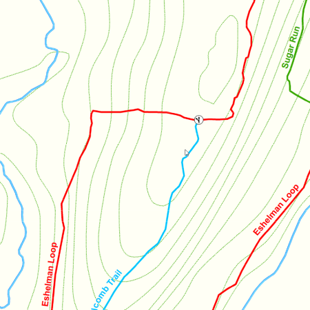
You can hike, bike, ride a snowmobile or ride horse on the Pat McGee Trail. This mile multi-purpose 12.2 trail will grow to be a county-wide system but at this time it connects 7 municipalities together (from the Village of Cattaraugus to the City of Salamanca).
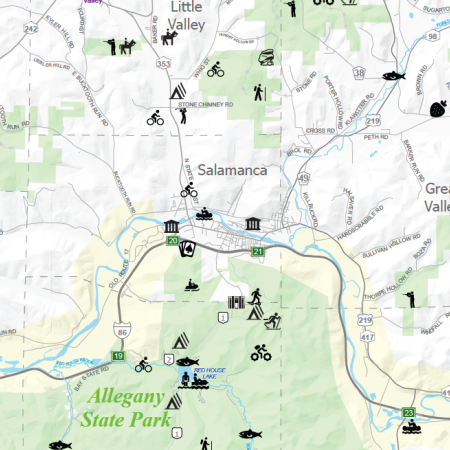
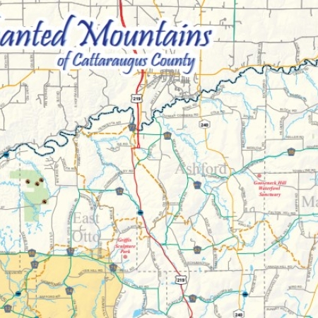
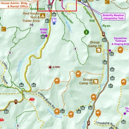
Take a gander at the Enchanted Mountains Visitors' Map (Cattaraugus County).